Friday set a September 20 rainfall record for how wet its 48.3mm (1.9 inches) left the city over multiple storm and rain events. Saturday it turns out would make that number look like a mere opening act.
Recently released Environment Canada data shows Brandon having been on the receiving end of a whopping 73.9mm (2.9 inches) of rain over the course of the day on Saturday. That obliterated September 21’s previous record of 32.5mm (1970) just a day after Friday more than doubled its past record of 22.9mm (1955).
Thanks in large majority to those totals, weather firm WeatherLogics shared on Sunday morning that the 148.8mm seen in Brandon to-date represents the highest amount on record for a September since 1885.
A rainfall warning had been in place for much of Saturday with the same system effecting large portions of Southern Manitoba.
Unofficially, eBrandon weather gauges suggested some areas may have been less fortunate than others on the day. A digital rain gauge setup on the city’s West end measured 74mm, significantly more than the 51mm seen in an identical South end gauge.
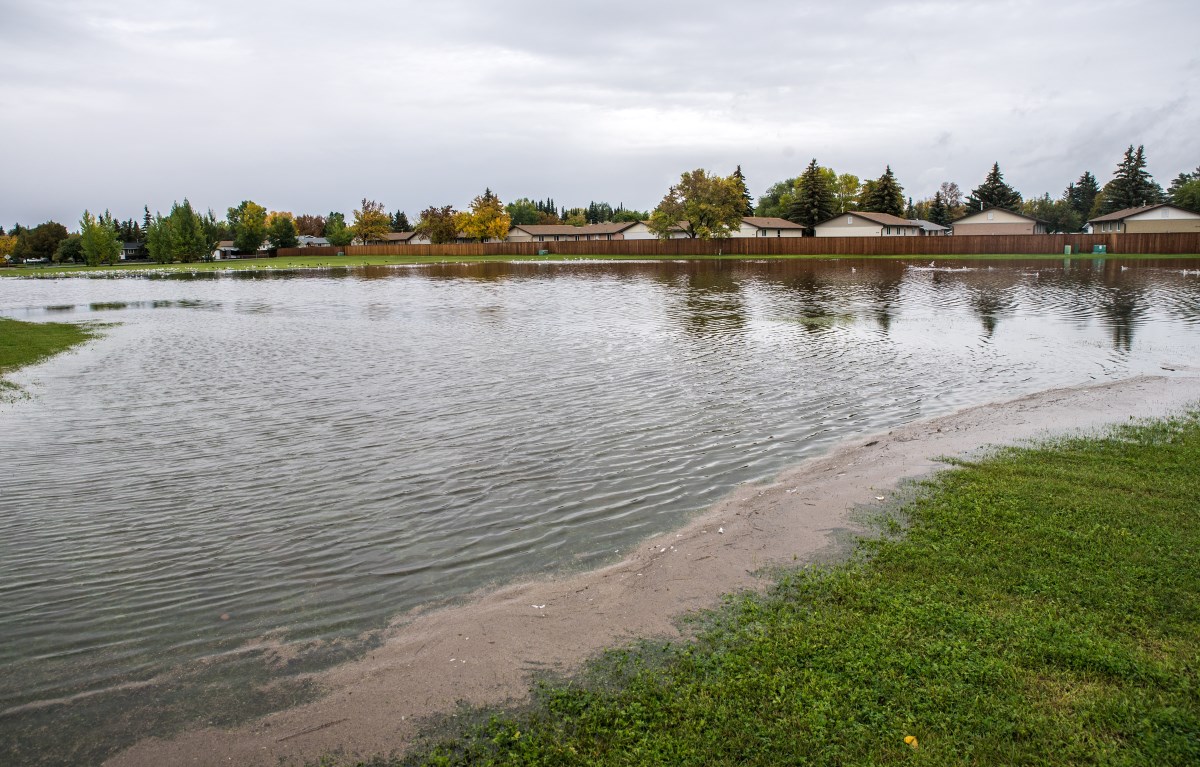
The opposite side of the South end popup 'lake' shown in the main picture attached to this post
The 122.2mm (4.8 inches) of precip in two days resulted in localized flooding in areas throughout the city with sewer and water crews kept busy responding to some of the more disruptive spots:
To put the day’s total in further context, though a hurricane’s impact involves much more than rain Halifax saw 73.2mm (2.9 inches) in one day earlier this month from Category One Hurricane Dorian.
Environment Canada’s forecast for Brandon at the time of this posting calls for conditions to improve dramatically on Sunday with mainly sunny conditions and a high of 20 degrees.
Updated: Sept 22, 9:30am. Added info on September record setting